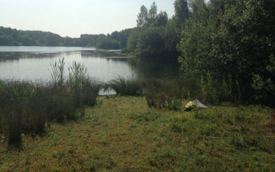
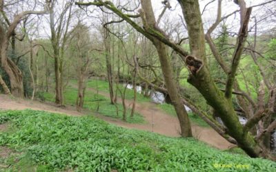
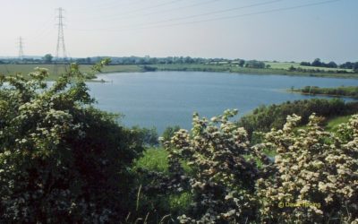
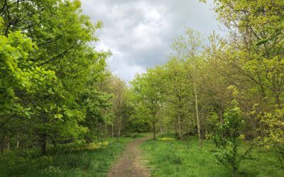
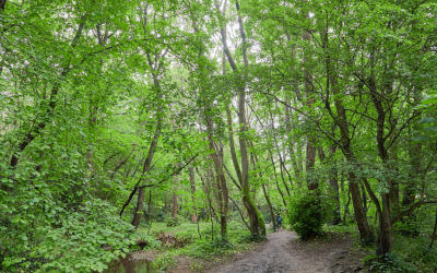
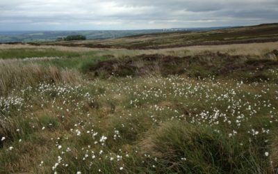
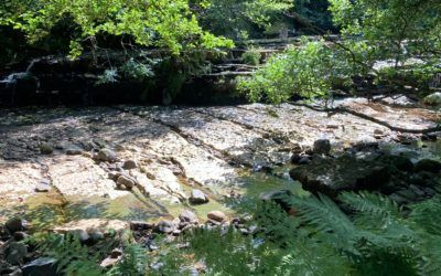
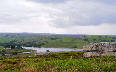
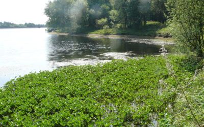
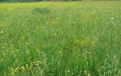
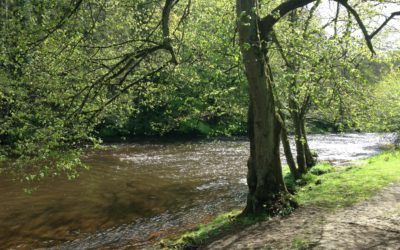
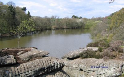
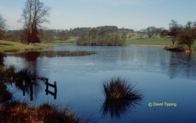
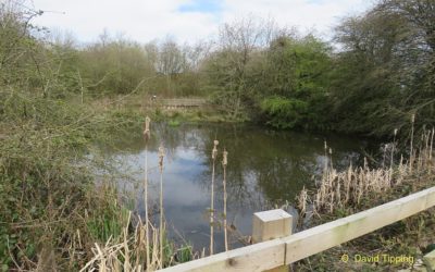
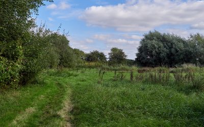
A small pond in Knaresborough.
Wildlife Locations
Locations MapOur area abounds in wildlife. Here are some locations that are especially rich in wildlife or are noted for particular species.
Please note that inclusion of locations on this list does not necessarily indicate a right of access to the site. Some are on private property and permission of the landowner or manager would then be required.
Aubert Ings
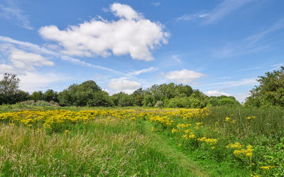
One of the few remaining hay meadows in our area, which is managed for the production of an annual hay crop. It lies within a loop of the River Nidd near Cattal.
Bellflask Quarry
A former gravel working now managed as a private nature reserve. Several lakes are surrounded by reedbeds and scrub.
Bilton Beck & Rudding Bottoms
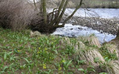
Broadleaf woodland in the steep sided valley of the River Nidd, managed as a nature reserve.
Birk Crag, Cardale Wood & Oak Beck
A steep, wooded valley, with outcrops of millstone grit at the top. The rocky Oak Beck flows in the valley floor. Predominantly deciduous woodland with a diverse range of shade loving plants and bryophytes.
Birkham Wood
Ancient broadleaf woodland on the south bank of the River Nidd near Knaresborough.
Bishop Monkton Ings
An area of species-rich marshy grasslands and wet broadleaf woodlands. It is on private property.
Bishop Monkton Railway Cutting
Part of the disused London and North East Railway where it cuts through the Magnesian limestone. The unimproved calcareous grassland of this sheltered site is rich in insect life.
Boroughbridge Weir, River Ure
The River Ure is an important freshwater habitat and, in particular, a spawning ground for River Lamprey. These can sometimes be observed from the bridge at Boroughbridge.
Brimham Rocks
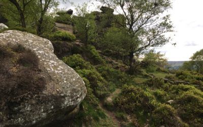
A cluster of Millstone Grit tors that dominates the local landscape. They are surrounded by a variety of upland plant communities such as dry and wet heath, birch woodland and acid bog.
Brown Bank Road Verge
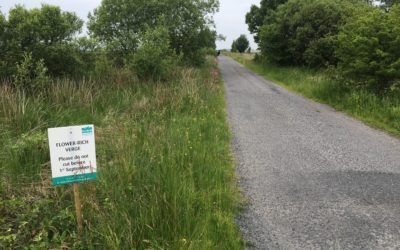
This and the adjacent verge of Broad Dubb Road on Sandwith Moor support species-rich heathland with scattered scrub and mire which are good for wildflowers and insects.
Burton Leonard Lime Quarries
A disused Magnesian Limestone quarry that supports a mix of limestone grassland, scrub and broadleaved woodland with a rich calcareous flora.
Cayton Gill
Very interesting valley fen over limestone surrounded by woodland and acid grassland.
Coal Bank Wood, Mickley
Small woodland over limestone with wet woodland, fens, flushes and marshes
Cock Hill lead mines
Abandoned lead mine with spoil heaps.
Coldstones Cut & Toft Gate Lime Kiln
Abandoned lead mine with spoil heaps and limestone grassland.
Colsterdale
Moorland and rough pasture of the upper Colsterdale valley.
Copgrove Lakes
tbd
Cow Myers
Wet grassland with basic flushes, and extensive carr woodlands.
Crimple Valley, Pannal to Spofforth
A mix of farmland, woodland and rough grassland surrounding Crimple Beck. The land is mostly privately owned, but a network of public footpaths runs through the valley.
Druids Temple and Plantation
Conifer plantation and rock outcrops with a 19th century stone folly.
East Nidderdale Moors
High moorland on the eastern side of the upper Nidderdale valley, between Flamstone Pin and High Ruckles, including Dallowgill, Lofthouse, Pateley, Fountains Earth and Masham Moors. It is a Site of Special Scientific Interest.
Eavestone Lake
A secluded lake and surrounding mixed woodland.
Ellington Banks
A very interesting site used as a military training area, with limestone grassland, scrub woodland and pools.
Farnham Gravel Pits
Formerly gravel workings, the south lake is managed by the Society as a private nature reserve. Access is restricted to Society members only.
Farnham Mires
An area of calcareous grassland and marsh overlying Magnesian Limestone.
Farnham Road verge
The roadside verge of Farnham Road has a rich limestone grassland flora
Fountains Abbey and Studley Royal
Extensive parkland with many mature specimen trees, ornamental lake and stream.
Gillbeck Farm Wood
A small ancient deciduous wood on a steep valley side.
Glasshouses Mill Dam
A millpond created by damming the River Nidd, with a variety of waterfowl.
Gouthwaite Reservoir
A compensation reservoir for the River Nidd, which is managed as a nature reserve by Yorkshire Water. It is a Site of Special Scientific Interest for its breeding wildfowl and passage and wintering birds.
Grange Quarry Wood
Mixed woodland, mostly deciduous. The rocky Oak Beck runs the full length of the site. There are two grassy meadows and some outcrops of Millstone Grit.
Great Whernside
A very high plateau (>600 m) with the only montane heath in the HDNS area; the best site for montane plants in our area.
Greenhow (Duck Street) Quarry
An abandoned limestone quarry that is a Site of Special Scientific Interest for its geological features. It also has a rich limestone grassland flora.
Greenhow Hill
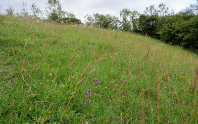
An area rich in limestone grassland and old quarries.
Greenhow Pasture
Neutral grassland pasture on the edge of moorland, with lead mine spoil heaps and hollows hosting interesting flora.
Guisecliff Wood
Ancient broadleaf woodland on the edge of the moors above the River Nidd.
Hackfall Woods
Ancient woodland above the River Ure with abundant wildlife and some interesting 18th century historical features
Haverah Park & Beaver Dyke Reservoir
Mixed farmland and the small Beaver Dyke Reservoir (also called John o’ Gaunt’s Reservoir due to the proximity of John o’ Gaunt’s Castle ). There is a path around the reservoir taking in the pathway over the dam. Two benches on the north side offer a good vantage point over the water (there is no access to the water’s edge). The larger lower reservoir was drained in 2015.
Hay-a-Park Gravel Pits
A large, flooded former gravel pit and several smaller lagoons, with reedbeds, grassland and scrub.
Helenfield Nature Reserve
A young broadleaf woodland recently established as a nature reserve. There is a small pond in the south east corner of the wood.
Hell Wath Local Nature Reserve
Ancient woodland, grassland and river habitats
Heyshaw Moor
tbd
High Batts Nature Reserve
High Batts is mixed woodland and clearings on the bank of the River Ure. It is a private nature reserve and Site of Special Scientific Interest. There are three hides, from which members can view the wildlife at the Reserve.
Hookstone Wood Local Nature Reserve
Two old quarry ponds which date back to the nineteenth century, and a large area of mixed woodland. It is a Local Nature Reserve.
How Stean Beck and Gorge
The How Stean Beck flows off the West Nidderdale moors and through a deep limestone gorge before meeting the River Nidd.
Kirk Deighton Ponds
A Site of Special Scientific Interest for its colony of Great Crested Newt.
Leighton and Roundhill Reservoirs
Two reservoirs that host a selection of waterfowl in the winter.
Lumley Moor Reservoir
A reservoir with interesting aquatic and marsh flora. The reservoir is owned by Yorkshire Water and is used to top up Swinsty Reservoir when necessary.
Mar Field Fen
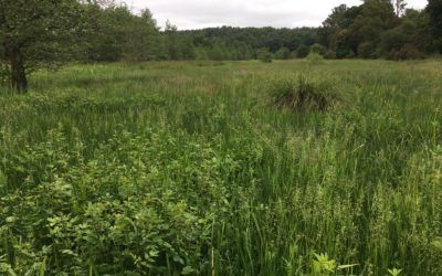
A complex of fen meadow, carr woodland and basic flush plant communities on the west bank of the River Ure. One of the best examples of fen habitat in the Vale of York.
Marfield Wetlands
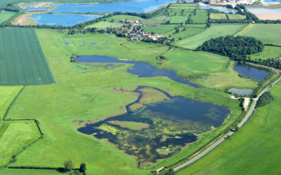
A former sand and gravel working with lakes, ponds and surrounding fen, wet grassland and woods.
Moor End Meadow, Staveley
tbd
Newsome Bridge Quarry
Newsome Bridge Quarry displays a spectacular Permian Magnesian Limestone section, cut through a bryozoan patch-reef and flanking limestones.
Nidd Gorge
Mixed woodland in the steep sided valley of the River Nidd.
Nosterfield Local Nature Reserve
Originally a gravel quarry, the site has wet grassland and lakes over magnesian limestone. Three birds hides are open during daylight working hours.
Nosterfield Quarry
Previous gravel workings and surrounding farmland, incorporating Flasks & Kiln Lakes and Nosterfield Reedbed.
Paddy Wood, River Laver
A small, private woodland nature reserve by the River Laver
Plumpton Rocks
Historic, landscaped woodland with a wide variety of trees and a large lake; spectacular outcrops of Millstone Grit.
Quarry Moor Nature Reserve
On the site of an old Magnesian Limestone quarry, the reserve has interesting unimproved calcareous grassland and geological features.
Ripley Castle Deer Park and Lakes
Two large, shallow lakes, formed by damming the Thornton Beck, which date back more than two centuries, set in open parkland with scattered, mature trees. The Castle has a walled garden.
Ripon City Wetlands
Recently acquired by Yorkshire Wildlife Trust, this area of lakes (former gravel workings) and surrounding reedbeds is a favourite birdwatching site.
Ripon Loop
A nature reserve within a large loop of the meandering River Ure.
Ripon Parks
A military training ground with no access but it can be viewed from the Public Rights of Way.
River Burn confluence
tbd
River Ure Bank
A Site of Special Scientific Interest for its geological features
Rossett Local Nature Reserve
This small urban nature reserve is located off a 400 metre long section of Rossett Drive, adjoining Richmond Avenue. There are several small, weedy ponds, along with some scrub and some grassland. It is a Site of Interest for Nature Conservation for its amphibians, particularly a breeding colony of Great Crested Newt.
Sandy Bank Wood
Remnant heathland on top of quarry
Sawley High Moor
Conifer plantation, a good spot for Crossbill
Scar House & Angram Reservoirs
Two large reservoirs and surrounding boulder-strewn hillsides with rough grassland and moorland on the higher slopes. There is some mixed woodland below Scar House dam.
Skrikes Wood
Ancient woodland with moss covered boulders and stream with wet rock faces.
Spa Gill Wood
The wooded valley of the River Skell as it flows towards Fountains Bridge has wet woodland and grasslands.
Stainburn Moor
The large conifer plantation has been part felled, creating a substantial area of stumps, rotting branches and coarse grass. The plantation is surrounded by sheep pasture and heather moorland. Little Almscliffe Crag, a millstone grit outcrop, is nearby.
Staveley Nature Reserve
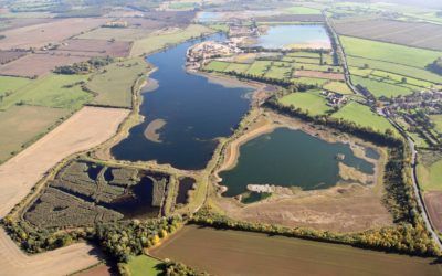
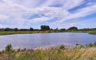
Two large, flooded former gravel pits, fringed with rushes, along with several small pools and drainage channels. Some extensive grassland and small areas of woodland.
Swinsty Moor and Reservoir
Swinsty Moor Plantation and the adjoining Swinsty Reservoir have a variety of coniferous plantations, mixed woodlands and open water.
Sylvan Nature Reserve
A recently planted woodland on the bank of River Nidd.
The Pinewoods
Mixed woodland, including many Scots Pines, from which the site takes its name.
Upper Dunsforth Carrs
A small reserve with wet meadows and carr woodland.
Upper Nidderdale
The upper reaches of the River Nidd and valley, with rough pasture, woodland, many exposed outcrops of limestone and entrances to cave systems, such as Goyden Pot
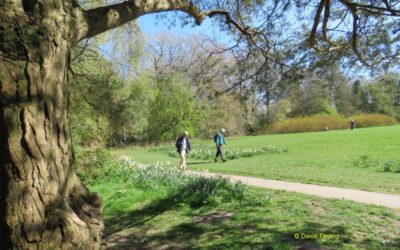
Valley Gardens
A formal gardens in the centre of Harrogate, which is planted with an interesting variety of mature trees.
West Lees Farm
Large area of limestone grassland, fen, marsh and wet woodland.
West Nidderdale Moors
The moors to the west of upper Nidderdale are a Site of Special Scientific Interest for their blanket bog and heather moorland habitats and breeding moorland birds. This includes West Nidderdale, Barden and Blubberhouses Moors, which stretch into Wharfedale.
Members Area
View the Society's latest publications in this area of the website reserved for Members.
Trip Reports
View a detailed roundup of all our Field Trips in the Harrogate District and beyond.
Latest News
The latest wildlife news from around the Harrogate District that may be of interest to naturalists.
